Slopcouver Prototype
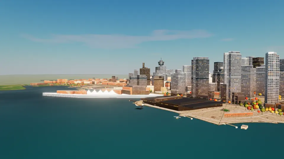
Downtown Vancouver and Canada Place's sails from over Burrard Inlet, in the game In the game
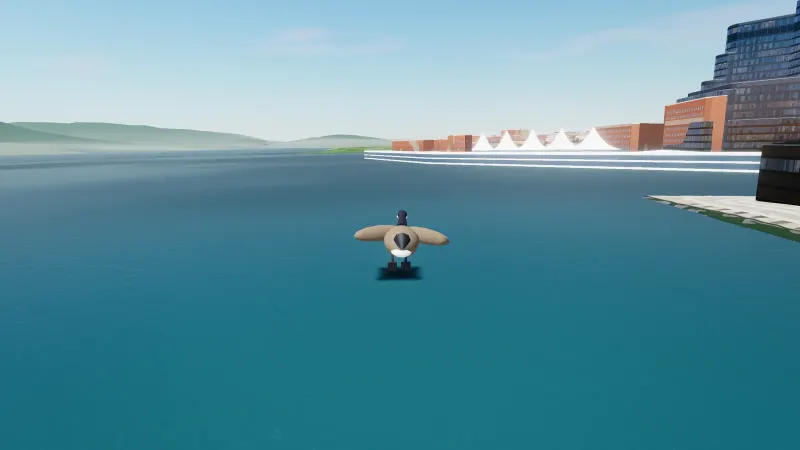
Flying as the goose over Burrard Inlet, towards Canada Place. Recorded in the game.

A playable Vancouver, built from open data

Vancouver, roughly. Go explore.

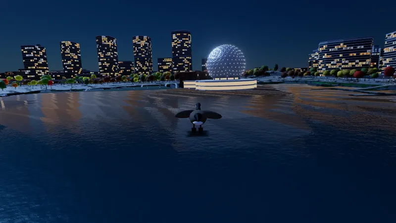
Walk the Seawall, cycle Stanley Park, drive downtown, paddle False Creek, fly a helicopter, or be a goose. Buildings are approximate, and the buses and trains are simulated.

In your browser, on a computer or a phone. Nothing heavy loads until you start.
Graphics

Around the city, in the game

Or start somewhere specific

In the city today

  • The whole city, in 20 areas from UBC to Killarney.
  • Ground and building heights from the City’s 2022 LiDAR survey, and trees from its canopy.
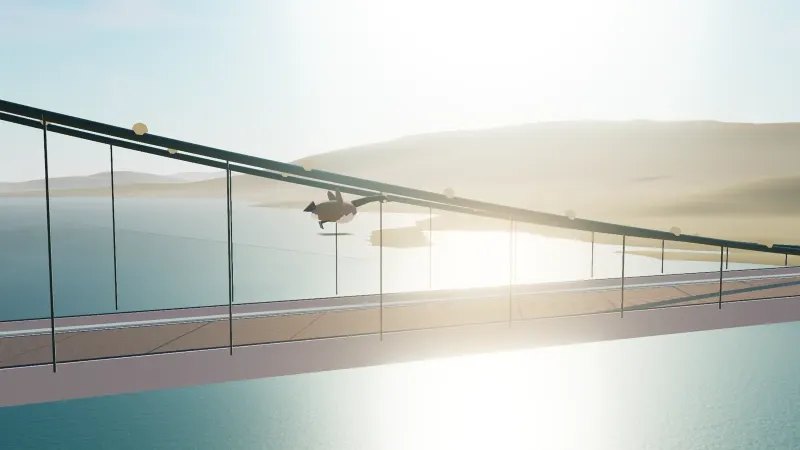
  • Canada Place, the Lions Gate, Burrard, Granville and Cambie bridges, and the Georgia and Dunsmuir viaducts.
  • The first measured storefront: the Midland on Columbia Street, its texture generated from photos and our 3D model.
  • The live weather and wind, simulated buses and SkyTrain, and a disaster mode if you ask for it.

What we’re working on

In progress, no dates.

  • Faster loading: streets built ahead of time and streamed in.
  • Steadier play on iPhone.
  • A flat street map that tilts smoothly into the 3D city.
  • More buildings measured from street photos.

More of Slopcouver

Slop Vancouver
Vancouver, Canada · prototype
Loading city code and data...
Mode:

Early prototype. Streets, footprints and terrain come from open data (© OpenStreetMap contributors, AWS Terrain Tiles). Many building heights are estimated, landmarks are approximate stand-ins, and buses/trains are simulated, not real TransLink schedules.

Slop Vancouver

Engine
Prototype · sources & caveats
Start over?
Teleport to
Choose Evo

Fan-made, Evo-inspired stylized cars. Not affiliated with Evo Car Share.

Car Alt 0 ft
0mph
Follow
Scenic